Hillside, Castle Donington
Introduction
The photograph on this page of Hillside, Castle Donington by Oliver Mills as part of the Geograph project.
The Geograph project started in 2005 with the aim of publishing, organising and preserving representative images for every square kilometre of Great Britain, Ireland and the Isle of Man.

There are currently over 7.5m images from over 14,400 individuals and you can help contribute to the project by visiting https://www.geograph.org.uk
Hillside, Castle Donington
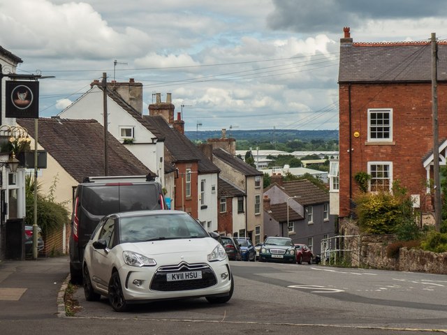
Image: © Oliver Mills Taken: 11 Jul 2020
A steep road running through the North end of the town, connecting to the main shopping areas at the photographer's location.
Images are licensed for reuse under creativecommons.org/licenses/by-sa/2.0
Image Location
Latitude
52.843337
Longitude
-1.337049