Old path through the trees
Introduction
The photograph on this page of Old path through the trees by Robert Graham as part of the Geograph project.
The Geograph project started in 2005 with the aim of publishing, organising and preserving representative images for every square kilometre of Great Britain, Ireland and the Isle of Man.

There are currently over 7.5m images from over 14,400 individuals and you can help contribute to the project by visiting https://www.geograph.org.uk
Old path through the trees
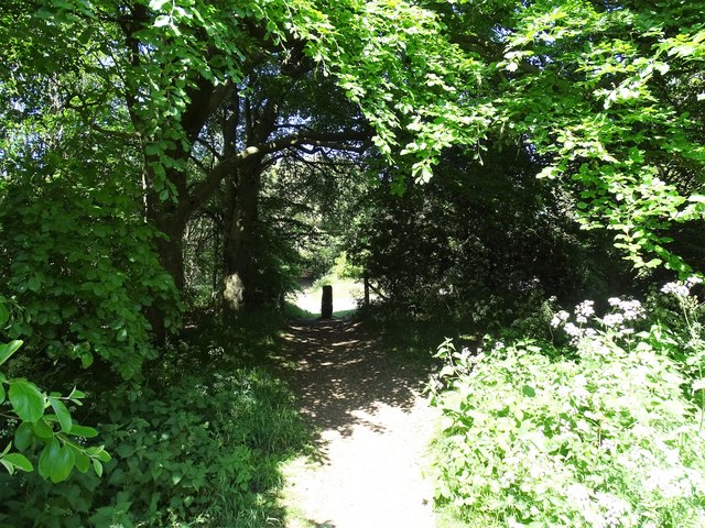
Image: © Robert Graham Taken: 31 May 2020
This path is on a bit of waste land in the middle of No 1 Industrial Estate. It is shown on old maps as a path to Bunker Hill Farm. The stone gate post at the end here has probably been moved into the middle to deter unauthorized vehicles.
Images are licensed for reuse under creativecommons.org/licenses/by-sa/2.0
Image Location
Latitude
54.861313
Longitude
-1.826891