Royd Lane, Thurlstone
Introduction
The photograph on this page of Royd Lane, Thurlstone by Humphrey Bolton as part of the Geograph project.
The Geograph project started in 2005 with the aim of publishing, organising and preserving representative images for every square kilometre of Great Britain, Ireland and the Isle of Man.

There are currently over 7.5m images from over 14,400 individuals and you can help contribute to the project by visiting https://www.geograph.org.uk
Royd Lane, Thurlstone
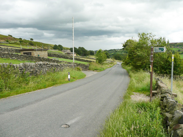
Image: © Humphrey Bolton Taken: 10 Jul 2020
The building on the left is a sewage pumping station, according to the large-scale OS map. The footpath on the right leads to Millhouse Green.
Images are licensed for reuse under creativecommons.org/licenses/by-sa/2.0
Image Location
Latitude
53.528967
Longitude
-1.670798