Bull Pitts
Introduction
The photograph on this page of Bull Pitts by Simon Carey as part of the Geograph project.
The Geograph project started in 2005 with the aim of publishing, organising and preserving representative images for every square kilometre of Great Britain, Ireland and the Isle of Man.

There are currently over 7.5m images from over 14,400 individuals and you can help contribute to the project by visiting https://www.geograph.org.uk
Bull Pitts
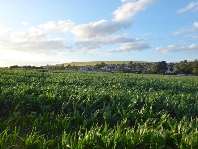
Image: © Simon Carey Taken: 5 Jul 2020
The name of the field according to Sompting's 1840 tithe map that is located to the north of the current A27 Upper Brighton Road that was a country lane known as Bullpit Lane. The northern end of Sompting is beyond with Steep Down visible in the distance.
Images are licensed for reuse under creativecommons.org/licenses/by-sa/2.0
Image Location
Latitude
50.838896
Longitude
-0.338025