School Road/Ladyland Place, Kilbirnie, North Ayrshire
Introduction
The photograph on this page of School Road/Ladyland Place, Kilbirnie, North Ayrshire by Mark S as part of the Geograph project.
The Geograph project started in 2005 with the aim of publishing, organising and preserving representative images for every square kilometre of Great Britain, Ireland and the Isle of Man.

There are currently over 7.5m images from over 14,400 individuals and you can help contribute to the project by visiting https://www.geograph.org.uk
School Road/Ladyland Place, Kilbirnie, North Ayrshire
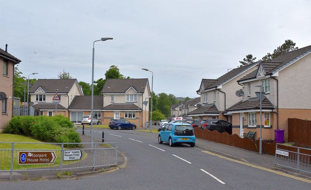
Image: © Mark S Taken: 9 Jun 2020
Just off School Road lies Ladyland Place, built around 2007 on the site of the former Ladyland School which closed in 1978. Notice the brown tourist information sign for Moorpark House is still in situ on the railing on the left even though it closed as a hotel nearly four years previously.
Images are licensed for reuse under creativecommons.org/licenses/by-sa/2.0
Image Location
Latitude
55.755837
Longitude
-4.688573