Farmland, Bincombe
Introduction
The photograph on this page of Farmland, Bincombe by Andrew Smith as part of the Geograph project.
The Geograph project started in 2005 with the aim of publishing, organising and preserving representative images for every square kilometre of Great Britain, Ireland and the Isle of Man.

There are currently over 7.5m images from over 14,400 individuals and you can help contribute to the project by visiting https://www.geograph.org.uk
Farmland, Bincombe
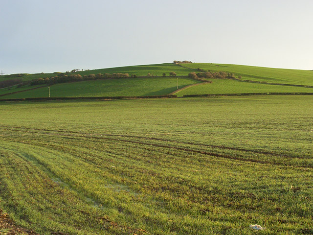
Image: © Andrew Smith Taken: 6 Jan 2008
Arable land beside Littlemoor Road with pastures on the hillside to the east of Bincombe Marsh Dairy. There the field boundaries can be reconciled to the 1:25000 map.
Images are licensed for reuse under creativecommons.org/licenses/by-sa/2.0
Image Location
Latitude
50.649424
Longitude
-2.446913