Stepping Stones Across The Seaton Burn, Seghill
Introduction
The photograph on this page of Stepping Stones Across The Seaton Burn, Seghill by Geoff Holland as part of the Geograph project.
The Geograph project started in 2005 with the aim of publishing, organising and preserving representative images for every square kilometre of Great Britain, Ireland and the Isle of Man.

There are currently over 7.5m images from over 14,400 individuals and you can help contribute to the project by visiting https://www.geograph.org.uk
Stepping Stones Across The Seaton Burn, Seghill
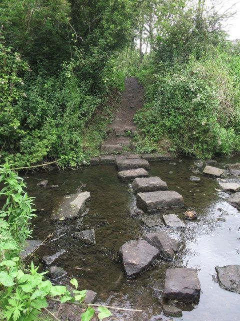
Image: © Geoff Holland Taken: 7 Jul 2020
These stepping stones lie on the route of a public footpath https://www.geograph.org.uk/photo/6531282 which links Seghill and Klondyke, and follows the route of the old West Cramlington Waggonway. For a selection of detailed free to download walking routes in the area visit www.northtynesidewalks.co.uk
Images are licensed for reuse under creativecommons.org/licenses/by-sa/2.0
Image Location
Latitude
55.064081
Longitude
-1.557653