Gate Lodge, Seghill Hall
Introduction
The photograph on this page of Gate Lodge, Seghill Hall by Geoff Holland as part of the Geograph project.
The Geograph project started in 2005 with the aim of publishing, organising and preserving representative images for every square kilometre of Great Britain, Ireland and the Isle of Man.

There are currently over 7.5m images from over 14,400 individuals and you can help contribute to the project by visiting https://www.geograph.org.uk
Gate Lodge, Seghill Hall
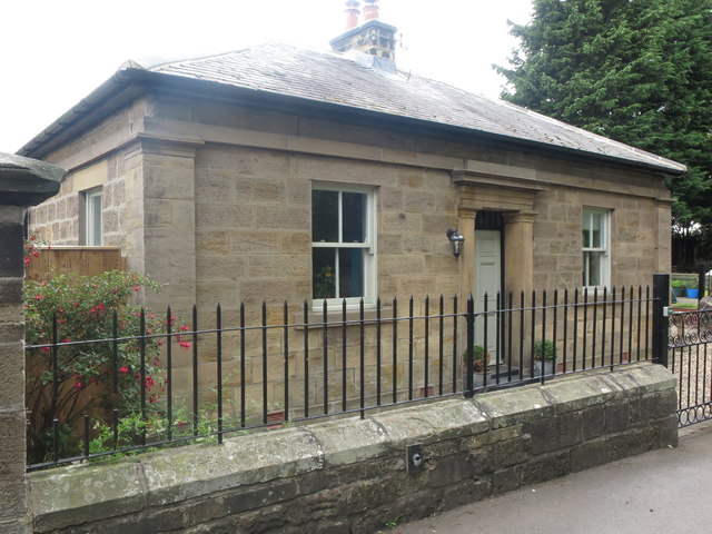
Image: © Geoff Holland Taken: 7 Jul 2020
Built circa 1830, at the same time as Seghill Hall, the gate lodge is, like the hall itself, a Grade II Listed Building. When the first Ordnance Survey Six-Inch map of the area was published in 1865, the main property was simply called 'Seghill House'. For a selection of detailed free to download walking routes in the area visit www.northtynesidewalks.co.uk
Images are licensed for reuse under creativecommons.org/licenses/by-sa/2.0
Image Location
Latitude
55.063026
Longitude
-1.564084