Former stable building by the Rotton Park Loop
Introduction
The photograph on this page of Former stable building by the Rotton Park Loop by Richard Law as part of the Geograph project.
The Geograph project started in 2005 with the aim of publishing, organising and preserving representative images for every square kilometre of Great Britain, Ireland and the Isle of Man.

There are currently over 7.5m images from over 14,400 individuals and you can help contribute to the project by visiting https://www.geograph.org.uk
Former stable building by the Rotton Park Loop
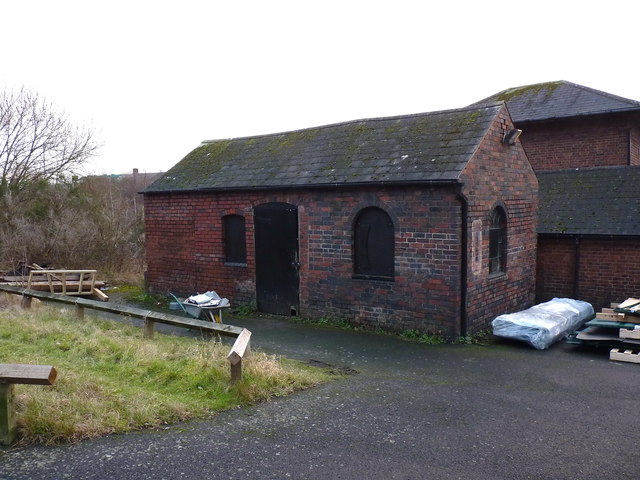
Image: © Richard Law Taken: 8 Jan 2020
Built around 1860 as a stable and grooms' room (for the young boys working the horses) on what was James Brindley's route of the canal. It's now a storage shed in the maintenance yard of the Canal and River Trust depot, and attracted a Grade II listing https://britishlistedbuildings.co.uk/101276288-stables-at-rotton-park-loop-canal-maintenance-yard-ladywood-ward#.XwX9-ChKjcs & https://historicengland.org.uk/listing/the-list/list-entry/1276288 in 1991.
Images are licensed for reuse under creativecommons.org/licenses/by-sa/2.0
Image Location
Latitude
52.481139
Longitude
-1.933107