Sports field on south side of Trinity Road with All Saints Church in background
Introduction
The photograph on this page of Sports field on south side of Trinity Road with All Saints Church in background by Roger Templeman as part of the Geograph project.
The Geograph project started in 2005 with the aim of publishing, organising and preserving representative images for every square kilometre of Great Britain, Ireland and the Isle of Man.

There are currently over 7.5m images from over 14,400 individuals and you can help contribute to the project by visiting https://www.geograph.org.uk
Sports field on south side of Trinity Road with All Saints Church in background
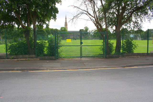
Image: © Roger Templeman Taken: 26 Jun 2017
Ordnance Survey documents indicate that in 1956 a benchmark levelled at 136.794m above Newlyn Datum was verified on a gatepost at this entrance. See www.bench-marks.org.uk/bm68329
Images are licensed for reuse under creativecommons.org/licenses/by-sa/2.0
Image Location
Latitude
53.78454
Longitude
-1.763203