OS Rivet in step, St Brides-super-Ely
Introduction
The photograph on this page of OS Rivet in step, St Brides-super-Ely by Father Ted as part of the Geograph project.
The Geograph project started in 2005 with the aim of publishing, organising and preserving representative images for every square kilometre of Great Britain, Ireland and the Isle of Man.

There are currently over 7.5m images from over 14,400 individuals and you can help contribute to the project by visiting https://www.geograph.org.uk
OS Rivet in step, St Brides-super-Ely
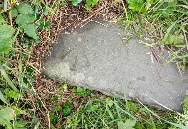
Image: © Father Ted Taken: 7 Jul 2020
A nice example of an OS Rivet in the bottom step leading up to a stile at a road junction in the centre of the village.
Images are licensed for reuse under creativecommons.org/licenses/by-sa/2.0
Image Location
Latitude
51.49181
Longitude
-3.30278