House in Aysgarth near site of T. Ray's stable
Introduction
The photograph on this page of House in Aysgarth near site of T. Ray's stable by Roger Templeman as part of the Geograph project.
The Geograph project started in 2005 with the aim of publishing, organising and preserving representative images for every square kilometre of Great Britain, Ireland and the Isle of Man.

There are currently over 7.5m images from over 14,400 individuals and you can help contribute to the project by visiting https://www.geograph.org.uk
House in Aysgarth near site of T. Ray's stable
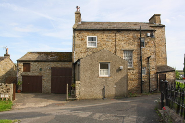
Image: © Roger Templeman Taken: 19 Jun 2017
Ordnance Survey documents indicate that in 1845 a benchmark was levelled at 737.45 feet above Liverpool Datum on a stable near this location. See www.bench-marks.org.uk/bm25435
Images are licensed for reuse under creativecommons.org/licenses/by-sa/2.0
Image Location
Latitude
54.291494
Longitude
-1.995203