Surface planing, Upper Parliament Street
Introduction
The photograph on this page of Surface planing, Upper Parliament Street by Alan Murray-Rust as part of the Geograph project.
The Geograph project started in 2005 with the aim of publishing, organising and preserving representative images for every square kilometre of Great Britain, Ireland and the Isle of Man.

There are currently over 7.5m images from over 14,400 individuals and you can help contribute to the project by visiting https://www.geograph.org.uk
Surface planing, Upper Parliament Street
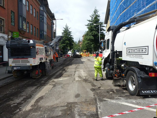
Image: © Alan Murray-Rust Taken: 6 Jul 2020
Upper Parliament Street has been closed for relaying of tram track at Theatre Square and the opportunity has been taken to resurface the section of Upper Parliament Street between Theatre Square and Chapel Bar.
Images are licensed for reuse under creativecommons.org/licenses/by-sa/2.0
Image Location
Latitude
52.954802
Longitude
-1.152407