Gedling Access Road progress - July 2020
Introduction
The photograph on this page of Gedling Access Road progress - July 2020 by Alan Murray-Rust as part of the Geograph project.
The Geograph project started in 2005 with the aim of publishing, organising and preserving representative images for every square kilometre of Great Britain, Ireland and the Isle of Man.

There are currently over 7.5m images from over 14,400 individuals and you can help contribute to the project by visiting https://www.geograph.org.uk
Gedling Access Road progress - July 2020
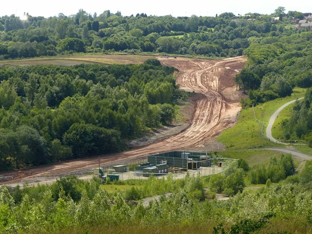
Image: © Alan Murray-Rust Taken: 5 Jul 2020
On the edge of Gedling Country Park, with the methane powered generating station in the foreground. This captures gas from the underground workings of the former Gedling Colliery.
Images are licensed for reuse under creativecommons.org/licenses/by-sa/2.0
Image Location
Latitude
52.989321
Longitude
-1.091398