The former Daventry Road
Introduction
The photograph on this page of The former Daventry Road by Bill Boaden as part of the Geograph project.
The Geograph project started in 2005 with the aim of publishing, organising and preserving representative images for every square kilometre of Great Britain, Ireland and the Isle of Man.

There are currently over 7.5m images from over 14,400 individuals and you can help contribute to the project by visiting https://www.geograph.org.uk
The former Daventry Road
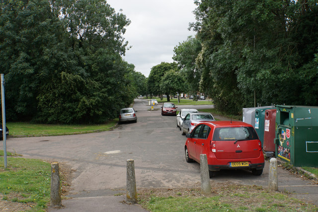
Image: © Bill Boaden Taken: 3 Jul 2020
This was once a through road north east from Banbury towards Daventry, but it was interrupted by the building of the M40 motorway.
Images are licensed for reuse under creativecommons.org/licenses/by-sa/2.0
Image Location
Latitude
52.071345
Longitude
-1.319943