The top of The Wynd
Introduction
The photograph on this page of The top of The Wynd by Adrian Taylor as part of the Geograph project.
The Geograph project started in 2005 with the aim of publishing, organising and preserving representative images for every square kilometre of Great Britain, Ireland and the Isle of Man.

There are currently over 7.5m images from over 14,400 individuals and you can help contribute to the project by visiting https://www.geograph.org.uk
The top of The Wynd
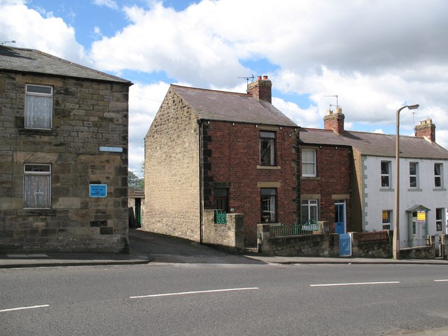
Image: © Adrian Taylor Taken: 29 Jul 2007
The small street between the houses is Gloster Terrace and leads to the Masonic Hall. Number 22, the red brick house adjacent to Gloster Terrace was once called Myrtle House.
Images are licensed for reuse under creativecommons.org/licenses/by-sa/2.0
Image Location
Latitude
55.332243
Longitude
-1.589509