Playground on west side of Lumb Lane
Introduction
The photograph on this page of Playground on west side of Lumb Lane by Roger Templeman as part of the Geograph project.
The Geograph project started in 2005 with the aim of publishing, organising and preserving representative images for every square kilometre of Great Britain, Ireland and the Isle of Man.

There are currently over 7.5m images from over 14,400 individuals and you can help contribute to the project by visiting https://www.geograph.org.uk
Playground on west side of Lumb Lane
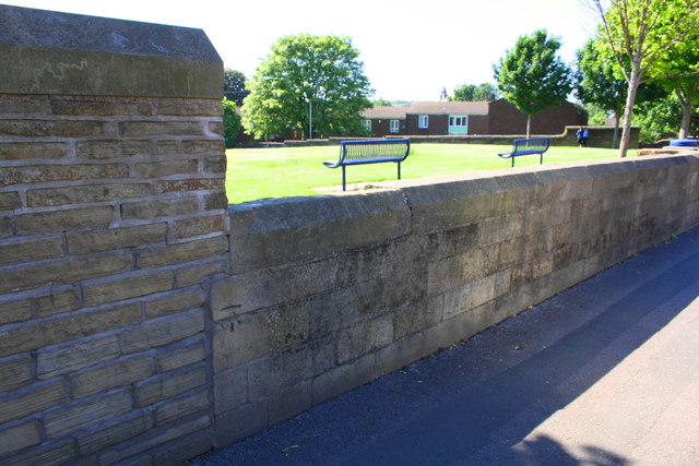
Image: © Roger Templeman Taken: 17 Jun 2017
There is an Ordnance Survey benchmark Image on the wall at its junction with a wall pier near the left hand edge of the image
Images are licensed for reuse under creativecommons.org/licenses/by-sa/2.0
Image Location
Latitude
53.79874
Longitude
-1.762516