Direction Sign ? Signpost south of Eals
Introduction
The photograph on this page of Direction Sign ? Signpost south of Eals by A Lloyd as part of the Geograph project.
The Geograph project started in 2005 with the aim of publishing, organising and preserving representative images for every square kilometre of Great Britain, Ireland and the Isle of Man.

There are currently over 7.5m images from over 14,400 individuals and you can help contribute to the project by visiting https://www.geograph.org.uk
Direction Sign ? Signpost south of Eals
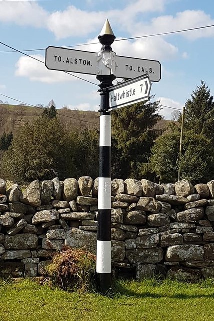
Image: © A Lloyd Taken: 15 Apr 2019
Located on the west side of a T junction south of Eals in Knarsdale with Kirkhaugh parish. 3 arms, 1 Worboys, and cone in cup finial. Milestone Society National ID: NB_NY6855
Images are licensed for reuse under creativecommons.org/licenses/by-sa/2.0
Image Location
Latitude
54.895336
Longitude
-2.500027