Bowling green, Garlieston
Introduction
The photograph on this page of Bowling green, Garlieston by Richard Sutcliffe as part of the Geograph project.
The Geograph project started in 2005 with the aim of publishing, organising and preserving representative images for every square kilometre of Great Britain, Ireland and the Isle of Man.

There are currently over 7.5m images from over 14,400 individuals and you can help contribute to the project by visiting https://www.geograph.org.uk
Bowling green, Garlieston
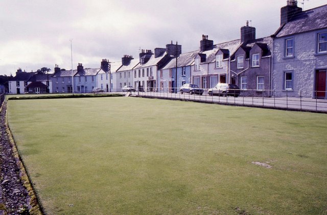
Image: © Richard Sutcliffe Taken: Unknown
There are in fact two bowling greens here. The second is just visible beyond the flagpole. Many of the 18th and 19th century properties on South Crescent on the right are Category B listed buildings.
Images are licensed for reuse under creativecommons.org/licenses/by-sa/2.0
Image Location


Leaflet Map data © OpenStreetMap
Latitude
54.789237
Longitude
-4.36905