Rough Road to the Circle - Kingstanding, North Birmingham
Introduction
The photograph on this page of Rough Road to the Circle - Kingstanding, North Birmingham by Martin Richard Phelan as part of the Geograph project.
The Geograph project started in 2005 with the aim of publishing, organising and preserving representative images for every square kilometre of Great Britain, Ireland and the Isle of Man.

There are currently over 7.5m images from over 14,400 individuals and you can help contribute to the project by visiting https://www.geograph.org.uk
Rough Road to the Circle - Kingstanding, North Birmingham
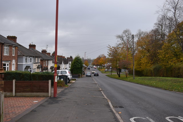
Image: © Martin Richard Phelan Taken: 7 Nov 2019
From opposite the entrance to Perry Barr Reservoir and at the junction with Hartley Road. Looking west-southwest along Rough Road towards Kingstanding Circle. Time photo taken 1.29 pm GMT (Greenwich Mean Time).
Images are licensed for reuse under creativecommons.org/licenses/by-sa/2.0
Image Location
Latitude
52.55422
Longitude
-1.879163