Lovegrove Holding, Fordwells
Introduction
The photograph on this page of Lovegrove Holding, Fordwells by Des Blenkinsopp as part of the Geograph project.
The Geograph project started in 2005 with the aim of publishing, organising and preserving representative images for every square kilometre of Great Britain, Ireland and the Isle of Man.

There are currently over 7.5m images from over 14,400 individuals and you can help contribute to the project by visiting https://www.geograph.org.uk
Lovegrove Holding, Fordwells
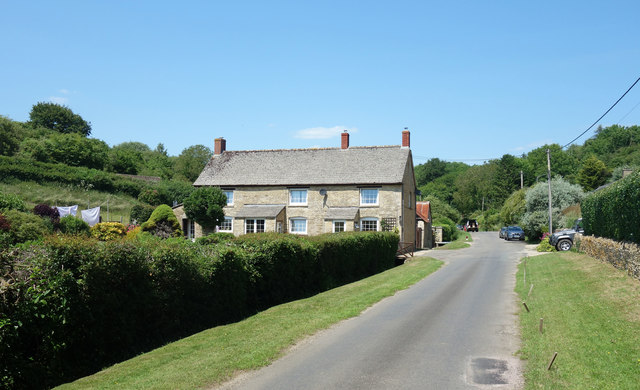
Image: © Des Blenkinsopp Taken: 23 Jun 2020
Lovegrove Holding or Lovegrove Farm depending which scale map you're looking at.
Images are licensed for reuse under creativecommons.org/licenses/by-sa/2.0
Image Location
Latitude
51.820716
Longitude
-1.553244