Kirby Lane becomes restricted
Introduction
The photograph on this page of Kirby Lane becomes restricted by Andrew Tatlow as part of the Geograph project.
The Geograph project started in 2005 with the aim of publishing, organising and preserving representative images for every square kilometre of Great Britain, Ireland and the Isle of Man.

There are currently over 7.5m images from over 14,400 individuals and you can help contribute to the project by visiting https://www.geograph.org.uk
Kirby Lane becomes restricted
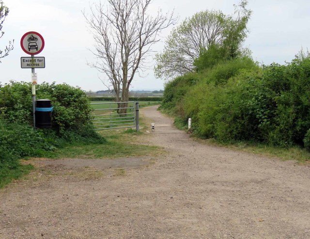
Image: © Andrew Tatlow Taken: 27 Apr 2020
No motor vehicles allowed except for access.
Images are licensed for reuse under creativecommons.org/licenses/by-sa/2.0
Image Location
Latitude
52.749271
Longitude
-0.875472