Path through the Craigdhu Wedge
Introduction
The photograph on this page of Path through the Craigdhu Wedge by Richard Sutcliffe as part of the Geograph project.
The Geograph project started in 2005 with the aim of publishing, organising and preserving representative images for every square kilometre of Great Britain, Ireland and the Isle of Man.

There are currently over 7.5m images from over 14,400 individuals and you can help contribute to the project by visiting https://www.geograph.org.uk
Path through the Craigdhu Wedge
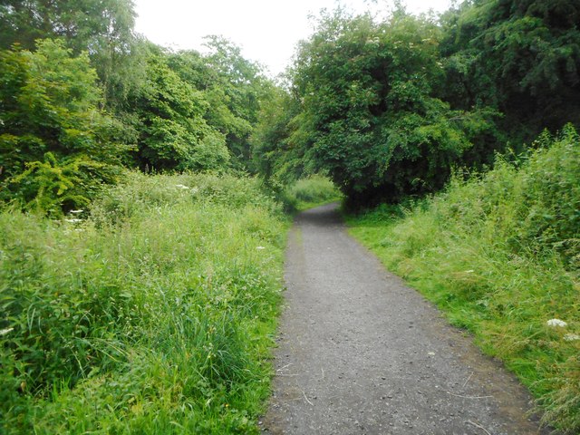
Image: © Richard Sutcliffe Taken: 30 Jun 2020
This well-surfaced path runs for just under a mile from Milngavie Road to Prestonfields following the route of the Craigdhu Burn through the Craigdhu Wedge. It also connects with paths which lead to Stockiemuir Avenue and Galbraith Drive. The Craigdhu Wedge is recognised as a Local Nature Conservation Site by East Dunbartonshire Council.
Images are licensed for reuse under creativecommons.org/licenses/by-sa/2.0
Image Location
Latitude
55.935854
Longitude
-4.327942