The Blake Arms, Seghill
Introduction
The photograph on this page of The Blake Arms, Seghill by Geoff Holland as part of the Geograph project.
The Geograph project started in 2005 with the aim of publishing, organising and preserving representative images for every square kilometre of Great Britain, Ireland and the Isle of Man.

There are currently over 7.5m images from over 14,400 individuals and you can help contribute to the project by visiting https://www.geograph.org.uk
The Blake Arms, Seghill
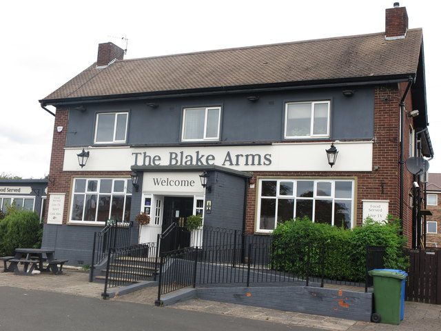
Image: © Geoff Holland Taken: 30 Jun 2020
This public house has undergone a bit of a makeover since Christine Westerback visited here back in 2005 https://www.geograph.org.uk/photo/36031. For a selection of detailed free to download walking routes in the area visit www.northtynesidewalks.co.uk
Images are licensed for reuse under creativecommons.org/licenses/by-sa/2.0
Image Location
Latitude
55.063955
Longitude
-1.54779