Northbourne: Hoxley Road
Introduction
The photograph on this page of Northbourne: Hoxley Road by Chris Downer as part of the Geograph project.
The Geograph project started in 2005 with the aim of publishing, organising and preserving representative images for every square kilometre of Great Britain, Ireland and the Isle of Man.

There are currently over 7.5m images from over 14,400 individuals and you can help contribute to the project by visiting https://www.geograph.org.uk
Northbourne: Hoxley Road
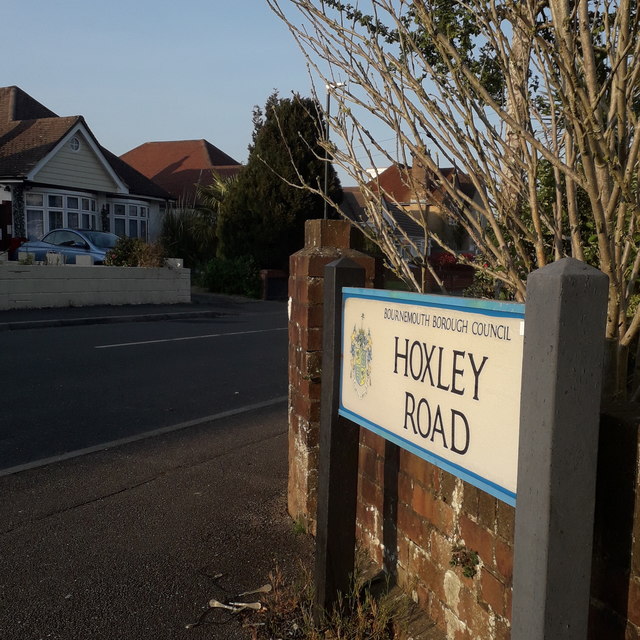
Image: © Chris Downer Taken: 10 Apr 2020
A very short single-segment road linking Western Avenue (this end) and Leybourne Avenue, with no more than half a dozen bungalows on each side. The road sign is a standard one from around 2000-2006, perhaps a little earlier, featuring the borough coat of arms. This is photo no.210 of a series of 453 in my coronavirus lockdown walking project: See https://www.geograph.org.uk/article/My-2020-Coronavirus-Lockdown-walking-project for the complete set of photos.
Images are licensed for reuse under creativecommons.org/licenses/by-sa/2.0
Image Location
Latitude
50.762371
Longitude
-1.890916