Moordown: Hillcrest Close
Introduction
The photograph on this page of Moordown: Hillcrest Close by Chris Downer as part of the Geograph project.
The Geograph project started in 2005 with the aim of publishing, organising and preserving representative images for every square kilometre of Great Britain, Ireland and the Isle of Man.

There are currently over 7.5m images from over 14,400 individuals and you can help contribute to the project by visiting https://www.geograph.org.uk
Moordown: Hillcrest Close
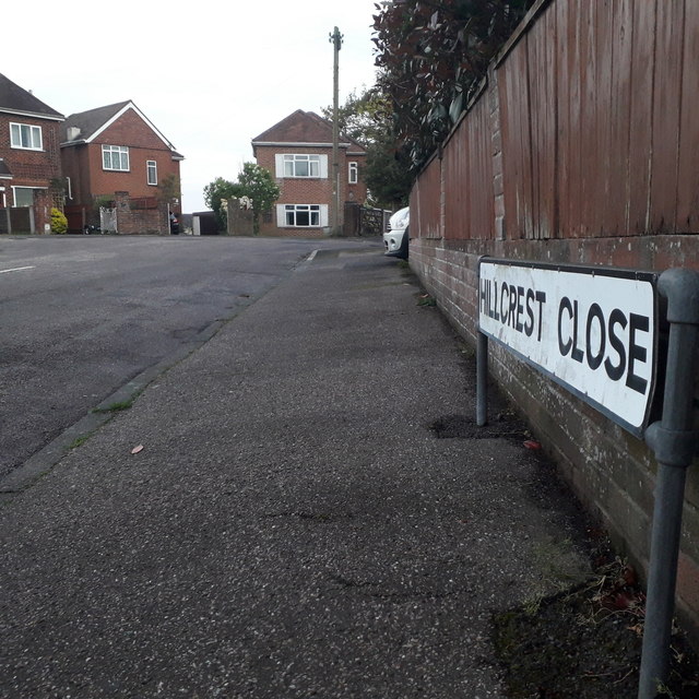
Image: © Chris Downer Taken: 17 Apr 2020
A small cul-de-sac of houses off Hillcrest Road - both are, indeed, at the crest of the hill; it goes steeply downhill on Priory View Road just to our left here. The sign is the standard Bournemouth nameplate from the 1980s, affixed with tubular steel which protrudes at each side. Unusually, there is no no-through-road sign either alongside or incorporated in the nameplate itself. This is photo no.198 of a series of 453 in my coronavirus lockdown walking project: See https://www.geograph.org.uk/article/My-2020-Coronavirus-Lockdown-walking-project for the complete set of photos.
Images are licensed for reuse under creativecommons.org/licenses/by-sa/2.0
Image Location
Latitude
50.757046
Longitude
-1.871931