Wraxall and Failand : Pill Scenery
Introduction
The photograph on this page of Wraxall and Failand : Pill Scenery by Lewis Clarke as part of the Geograph project.
The Geograph project started in 2005 with the aim of publishing, organising and preserving representative images for every square kilometre of Great Britain, Ireland and the Isle of Man.

There are currently over 7.5m images from over 14,400 individuals and you can help contribute to the project by visiting https://www.geograph.org.uk
Wraxall and Failand : Pill Scenery
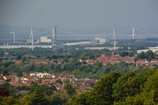
Image: © Lewis Clarke Taken: 26 Jun 2020
Looking from Wraxton and Failand across Pill and beyond with the Severn Crossing in view.
Images are licensed for reuse under creativecommons.org/licenses/by-sa/2.0
Image Location
Latitude
51.485445
Longitude
-2.68547