Lintzford Mill Bridge
Introduction
The photograph on this page of Lintzford Mill Bridge by Robert Graham as part of the Geograph project.
The Geograph project started in 2005 with the aim of publishing, organising and preserving representative images for every square kilometre of Great Britain, Ireland and the Isle of Man.

There are currently over 7.5m images from over 14,400 individuals and you can help contribute to the project by visiting https://www.geograph.org.uk
Lintzford Mill Bridge
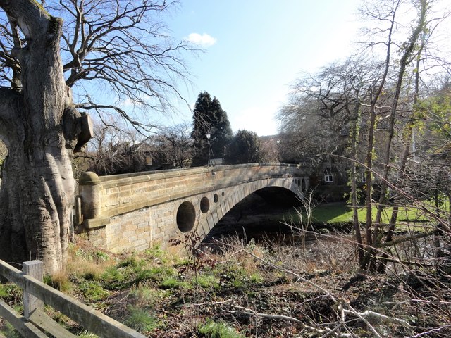
Image: © Robert Graham Taken: 2 Mar 2020
This is a very elegant 18th century bridge over the River Derwent near Rowlands Gill. There was originally a corn mill on the other side of the river, which was converted to a paper mill in the 18th century.
Images are licensed for reuse under creativecommons.org/licenses/by-sa/2.0
Image Location
Latitude
54.909202
Longitude
-1.768041