River Spey
Introduction
The photograph on this page of River Spey by Anne Burgess as part of the Geograph project.
The Geograph project started in 2005 with the aim of publishing, organising and preserving representative images for every square kilometre of Great Britain, Ireland and the Isle of Man.

There are currently over 7.5m images from over 14,400 individuals and you can help contribute to the project by visiting https://www.geograph.org.uk
River Spey
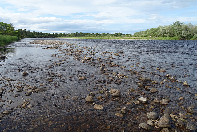
Image: © Anne Burgess Taken: 22 Jun 2020
The scattering of pebbles is the remains of what the map shows as a substantial shingle bank, almost washed away by the shifting river.
Images are licensed for reuse under creativecommons.org/licenses/by-sa/2.0
Image Location
Latitude
57.640072
Longitude
-3.100966