Westleigh
Introduction
The photograph on this page of Westleigh by Derek Harper as part of the Geograph project.
The Geograph project started in 2005 with the aim of publishing, organising and preserving representative images for every square kilometre of Great Britain, Ireland and the Isle of Man.

There are currently over 7.5m images from over 14,400 individuals and you can help contribute to the project by visiting https://www.geograph.org.uk
Westleigh
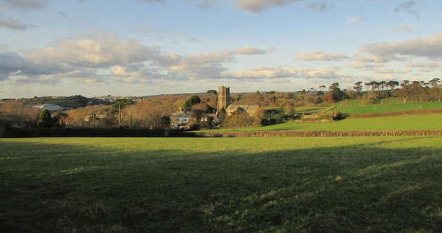
Image: © Derek Harper Taken: 1 Dec 2019
Placing Image] in more context. Westleigh footpath 9 crosses the left side of this field towards the church https://historicengland.org.uk/listing/the-list/list-entry/1163906 . Appledore is across the Torridge; one of its shipbuilding yards is on the left.
Images are licensed for reuse under creativecommons.org/licenses/by-sa/2.0
Image Location


Leaflet Map data © OpenStreetMap
Latitude
51.03549
Longitude
-4.180665