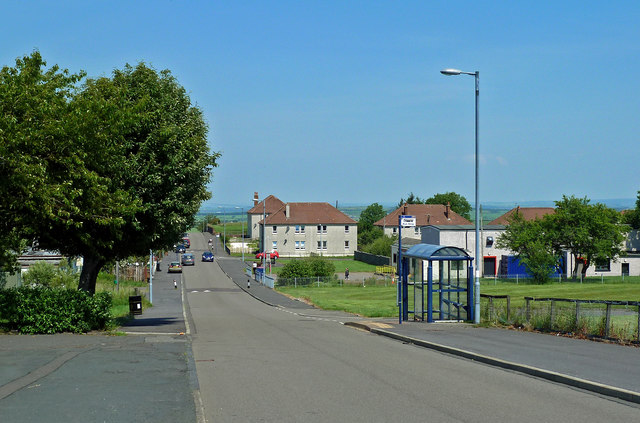
Kerse Terrace
Introduction
The photograph on this page of Kerse Terrace by Mary and Angus Hogg as part of the Geograph project.
The Geograph project started in 2005 with the aim of publishing, organising and preserving representative images for every square kilometre of Great Britain, Ireland and the Isle of Man.
There are currently over 7.5m images from over 14,400 individuals and you can help contribute to the project by visiting https://www.geograph.org.uk

Image: © Mary and Angus Hogg Taken: 25 Jun 2020
The main street in Rankinston. The village was built to house workers from nearby collieries, initially in crowded miners’ rows of a very basic standard. Ayrshire County Council built much better homes in the 1920s, most of which have undergone several upgrades since then. East Ayrshire Council has invested heavily in sports, leisure and education facilities as well as in further housing upgrades. Population was at its peak in the early 1900s but the loss of employment from closure of local pits led to a marked decline. The last one to close was Littlemill Colliery in 1974.

