Hook Road during lockdown, May 2020
Introduction
The photograph on this page of Hook Road during lockdown, May 2020 by Stefan Czapski as part of the Geograph project.
The Geograph project started in 2005 with the aim of publishing, organising and preserving representative images for every square kilometre of Great Britain, Ireland and the Isle of Man.

There are currently over 7.5m images from over 14,400 individuals and you can help contribute to the project by visiting https://www.geograph.org.uk
Hook Road during lockdown, May 2020
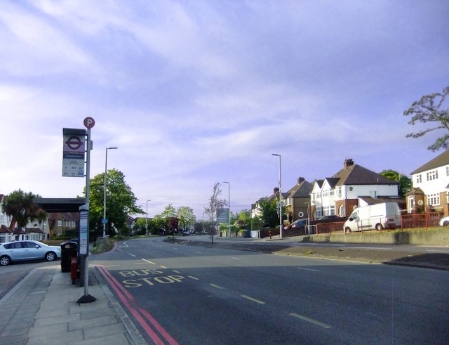
Image: © Stefan Czapski Taken: 18 May 2020
Looking north towards Hook town centre, from the Chessington end of Hook Road. Photo taken at about 19.30 on a Monday evening.
Images are licensed for reuse under creativecommons.org/licenses/by-sa/2.0
Image Location
Latitude
51.364192
Longitude
-0.308163