Houses above Bolt's Burn in Rookhope
Introduction
The photograph on this page of Houses above Bolt's Burn in Rookhope by Trevor Littlewood as part of the Geograph project.
The Geograph project started in 2005 with the aim of publishing, organising and preserving representative images for every square kilometre of Great Britain, Ireland and the Isle of Man.

There are currently over 7.5m images from over 14,400 individuals and you can help contribute to the project by visiting https://www.geograph.org.uk
Houses above Bolt's Burn in Rookhope
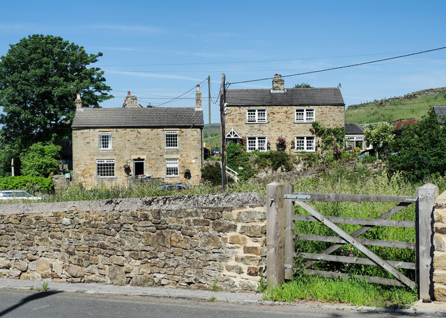
Image: © Trevor Littlewood Taken: 25 Jun 2020
The Bolt's Burn descends from the north, through the centre of Rookhope and beyond the small enclosure through the gate.
Images are licensed for reuse under creativecommons.org/licenses/by-sa/2.0
Image Location
Latitude
54.781057
Longitude
-2.097919