The Cotswold Outpost, Windrush Heights
Introduction
The photograph on this page of The Cotswold Outpost, Windrush Heights by Vieve Forward as part of the Geograph project.
The Geograph project started in 2005 with the aim of publishing, organising and preserving representative images for every square kilometre of Great Britain, Ireland and the Isle of Man.

There are currently over 7.5m images from over 14,400 individuals and you can help contribute to the project by visiting https://www.geograph.org.uk
The Cotswold Outpost, Windrush Heights
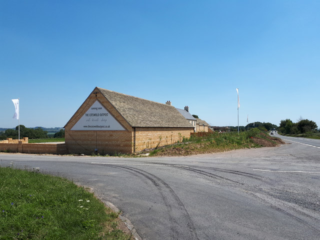
Image: © Vieve Forward Taken: 25 Jun 2020
'Eat, drink, shop' says the sign on the gable, but it was not yet open (unfortunately) when I passed; however, internal building work was taking place ahead of the easing of lockdown during the COVID-19 crisis in 2020.
Images are licensed for reuse under creativecommons.org/licenses/by-sa/2.0
Image Location
Latitude
51.81172
Longitude
-1.728413