Direction Sign ? Signpost
Introduction
The photograph on this page of Direction Sign ? Signpost by Z La Gumina as part of the Geograph project.
The Geograph project started in 2005 with the aim of publishing, organising and preserving representative images for every square kilometre of Great Britain, Ireland and the Isle of Man.

There are currently over 7.5m images from over 14,400 individuals and you can help contribute to the project by visiting https://www.geograph.org.uk
Direction Sign ? Signpost
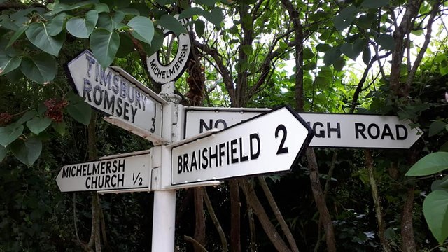
Image: © Z La Gumina Taken: 14 Jul 2019
Located on the north side of the crossroads of Haccups lane, Manor Farm Lane, Rudd Lane and New Road in Michelmersh and Timsbury parish. 4 arms and annulus finial. Milestone Society National ID: HA_SU3426
Images are licensed for reuse under creativecommons.org/licenses/by-sa/2.0
Image Location
Latitude
51.032423
Longitude
-1.505116