Bendy lane to Gammaton
Introduction
The photograph on this page of Bendy lane to Gammaton by Derek Harper as part of the Geograph project.
The Geograph project started in 2005 with the aim of publishing, organising and preserving representative images for every square kilometre of Great Britain, Ireland and the Isle of Man.

There are currently over 7.5m images from over 14,400 individuals and you can help contribute to the project by visiting https://www.geograph.org.uk
Bendy lane to Gammaton
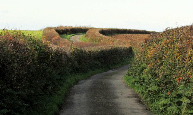
Image: © Derek Harper Taken: 1 Dec 2019
As the lane from Gammaton Moor turns the further right bend, it crosses into Image
Images are licensed for reuse under creativecommons.org/licenses/by-sa/2.0
Image Location
Latitude
51.004392
Longitude
-4.155402