River Misbourne
Introduction
The photograph on this page of River Misbourne by Mark Percy as part of the Geograph project.
The Geograph project started in 2005 with the aim of publishing, organising and preserving representative images for every square kilometre of Great Britain, Ireland and the Isle of Man.

There are currently over 7.5m images from over 14,400 individuals and you can help contribute to the project by visiting https://www.geograph.org.uk
River Misbourne
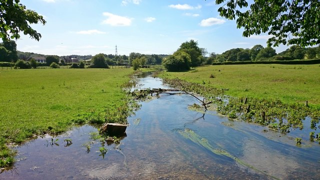
Image: © Mark Percy Taken: 22 Jun 2020
The 17-mile chalk stream is prone to disappear in times of low rainfall, but here it is in full flow.
Images are licensed for reuse under creativecommons.org/licenses/by-sa/2.0
Image Location
Latitude
51.683132
Longitude
-0.670376