The Talbot, Iwerne Minster
Introduction
The photograph on this page of The Talbot, Iwerne Minster by David Howard as part of the Geograph project.
The Geograph project started in 2005 with the aim of publishing, organising and preserving representative images for every square kilometre of Great Britain, Ireland and the Isle of Man.

There are currently over 7.5m images from over 14,400 individuals and you can help contribute to the project by visiting https://www.geograph.org.uk
The Talbot, Iwerne Minster
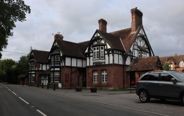
Image: © David Howard Taken: 20 Jun 2020
All the buildings along Blandford Road here follow this design, old and new. I have seen other villages following the same design elsewhere in the south.
Images are licensed for reuse under creativecommons.org/licenses/by-sa/2.0
Image Location
Latitude
50.927993
Longitude
-2.192748