Canal and railway near Weeping Cross in Staffordshire
Introduction
The photograph on this page of Canal and railway near Weeping Cross in Staffordshire by Roger Kidd as part of the Geograph project.
The Geograph project started in 2005 with the aim of publishing, organising and preserving representative images for every square kilometre of Great Britain, Ireland and the Isle of Man.

There are currently over 7.5m images from over 14,400 individuals and you can help contribute to the project by visiting https://www.geograph.org.uk
Canal and railway near Weeping Cross in Staffordshire
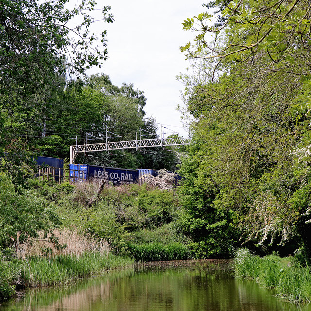
Image: © Roger Kidd Taken: 22 May 2019
This is the Staffordshire and Worcestershire Canal, looking west from near Stoneford Bridge, No 103. The railway is the Trent Valley Line, with about two miles to Stafford, where it joins the Rugby-Birmingham-Stafford Line.
Images are licensed for reuse under creativecommons.org/licenses/by-sa/2.0
Image Location
Latitude
52.795634
Longitude
-2.06803