Cruick Ave to Stifford Rd (After The Flood)
Introduction
The photograph on this page of Cruick Ave to Stifford Rd (After The Flood) by Glyn Baker as part of the Geograph project.
The Geograph project started in 2005 with the aim of publishing, organising and preserving representative images for every square kilometre of Great Britain, Ireland and the Isle of Man.

There are currently over 7.5m images from over 14,400 individuals and you can help contribute to the project by visiting https://www.geograph.org.uk
Cruick Ave to Stifford Rd (After The Flood)
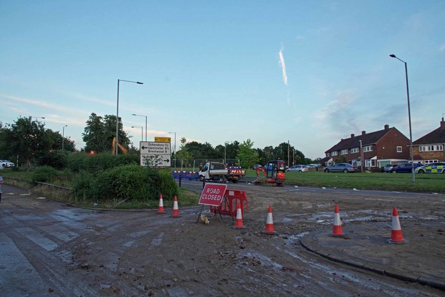
Image: © Glyn Baker Taken: 20 Jun 2020
A postdiluvian shot showing the muck left after the burst water main in Stifford Road
Images are licensed for reuse under creativecommons.org/licenses/by-sa/2.0
Image Location
Latitude
51.502376
Longitude
0.291892