Aftermath of Burst Water Main in Stifford Rd
Introduction
The photograph on this page of Aftermath of Burst Water Main in Stifford Rd by Glyn Baker as part of the Geograph project.
The Geograph project started in 2005 with the aim of publishing, organising and preserving representative images for every square kilometre of Great Britain, Ireland and the Isle of Man.

There are currently over 7.5m images from over 14,400 individuals and you can help contribute to the project by visiting https://www.geograph.org.uk
Aftermath of Burst Water Main in Stifford Rd
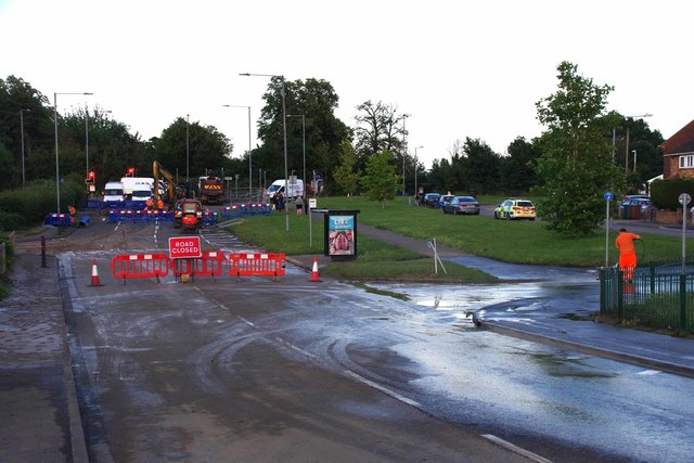
Image: © Glyn Baker Taken: 20 Jun 2020
Taken looking towards Ford Place. Some houses in Image to the left and Image to the right were inundated with 2 nearly feet of water. Have a look in the Image
Images are licensed for reuse under creativecommons.org/licenses/by-sa/2.0
Image Location
Latitude
51.502348
Longitude
0.293331