Public Footpath, Holywell
Introduction
The photograph on this page of Public Footpath, Holywell by Geoff Holland as part of the Geograph project.
The Geograph project started in 2005 with the aim of publishing, organising and preserving representative images for every square kilometre of Great Britain, Ireland and the Isle of Man.

There are currently over 7.5m images from over 14,400 individuals and you can help contribute to the project by visiting https://www.geograph.org.uk
Public Footpath, Holywell
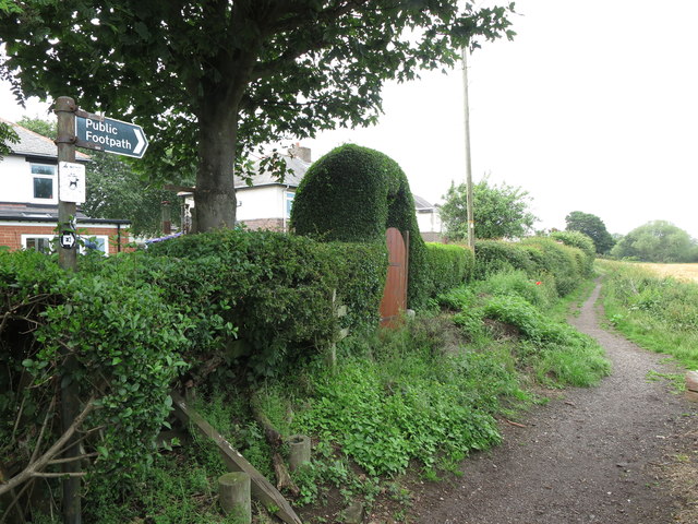
Image: © Geoff Holland Taken: 19 Jun 2020
This is the start of this public footpath as it heads towards the course of the old Avenue Branch of the Blyth & Tyne Railway, passing along the way the Hollywell Pond Nature Reserve https://www.geograph.org.uk/photo/6513377. For a selection of detailed free to download walking routes in the area visit www.northtynesidewalks.co.uk
Images are licensed for reuse under creativecommons.org/licenses/by-sa/2.0
Image Location
Latitude
55.066023
Longitude
-1.501889