Barriers on Ashburton Road, Bovey Tracey
Introduction
The photograph on this page of Barriers on Ashburton Road, Bovey Tracey by Derek Harper as part of the Geograph project.
The Geograph project started in 2005 with the aim of publishing, organising and preserving representative images for every square kilometre of Great Britain, Ireland and the Isle of Man.

There are currently over 7.5m images from over 14,400 individuals and you can help contribute to the project by visiting https://www.geograph.org.uk
Barriers on Ashburton Road, Bovey Tracey
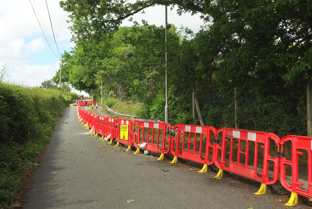
Image: © Derek Harper Taken: 14 Jun 2020
See Image] and Image]; the road is close to vehicles for over a year because of subsidence from old lignite mine workings. A very minor consolation is that the removal of trees has given a much clearer view of Blue Waters Pond, the lake that flooded the former pit Image
Images are licensed for reuse under creativecommons.org/licenses/by-sa/2.0
Image Location
Latitude
50.58022
Longitude
-3.681986