Start of a bridleway off Whitehall Road
Introduction
The photograph on this page of Start of a bridleway off Whitehall Road by Stephen Craven as part of the Geograph project.
The Geograph project started in 2005 with the aim of publishing, organising and preserving representative images for every square kilometre of Great Britain, Ireland and the Isle of Man.

There are currently over 7.5m images from over 14,400 individuals and you can help contribute to the project by visiting https://www.geograph.org.uk
Start of a bridleway off Whitehall Road
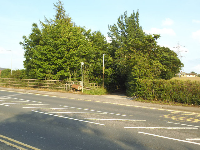
Image: © Stephen Craven Taken: 14 Jun 2020
This is the present route of Latham Lane, which used to meet Whitehall Road further east but was diverted and downgraded to bridleway status with construction of the M62 motorway.
Images are licensed for reuse under creativecommons.org/licenses/by-sa/2.0
Image Location
Latitude
53.743863
Longitude
-1.700053