Gates to Chesterton Pumping Station
Introduction
The photograph on this page of Gates to Chesterton Pumping Station by Des Blenkinsopp as part of the Geograph project.
The Geograph project started in 2005 with the aim of publishing, organising and preserving representative images for every square kilometre of Great Britain, Ireland and the Isle of Man.

There are currently over 7.5m images from over 14,400 individuals and you can help contribute to the project by visiting https://www.geograph.org.uk
Gates to Chesterton Pumping Station
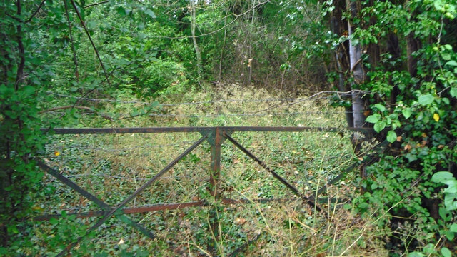
Image: © Des Blenkinsopp Taken: 15 Jun 2020
In the mid 20th century the former local authority for this area, Ploughley Rural District Council, had a policy of building small developments of new housing in a number of its villages. Where there wasn't an adequate water supply, the council put in small pumping stations to provide water from a borehole. In 1974 with the setting up of the national Water Authorities, these small stations passed into the care of the Thames Water Authority who never wanted them and let them go derelict. Some of the boreholes were subsequently used by the National Rivers Authority / Environment Agency for water level monitoring, as was this one until the site was sold off. The map still shows the original site boundaries although the whole place has merged into the surrounding wood. Only the original municipal gates are still here in the undergrowth.
Images are licensed for reuse under creativecommons.org/licenses/by-sa/2.0
Image Location
Latitude
51.890089
Longitude
-1.191904