The top of Poor Hill is blocked
Introduction
The photograph on this page of The top of Poor Hill is blocked by Neil Owen as part of the Geograph project.
The Geograph project started in 2005 with the aim of publishing, organising and preserving representative images for every square kilometre of Great Britain, Ireland and the Isle of Man.

There are currently over 7.5m images from over 14,400 individuals and you can help contribute to the project by visiting https://www.geograph.org.uk
The top of Poor Hill is blocked
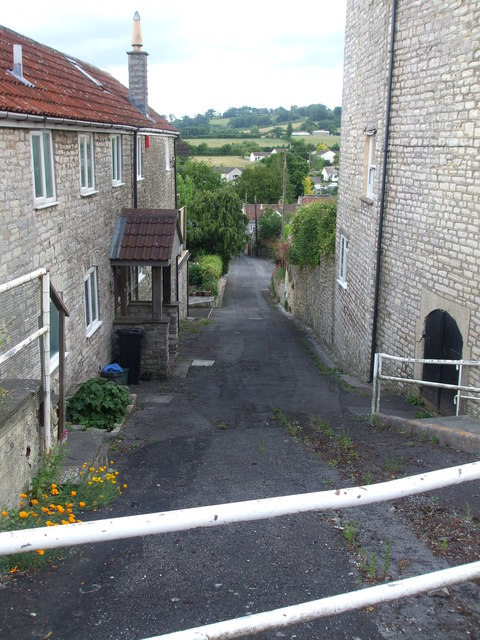
Image: © Neil Owen Taken: 17 Jun 2020
A steep road into Farmborough at the junction with the main Bath Road is now barred off to traffic. Perhaps not surprisingly with the amount of cars and lorries using the A39.
Images are licensed for reuse under creativecommons.org/licenses/by-sa/2.0
Image Location
Latitude
51.344986
Longitude
-2.489974