Ford Cottages
Introduction
The photograph on this page of Ford Cottages by Derek Harper as part of the Geograph project.
The Geograph project started in 2005 with the aim of publishing, organising and preserving representative images for every square kilometre of Great Britain, Ireland and the Isle of Man.

There are currently over 7.5m images from over 14,400 individuals and you can help contribute to the project by visiting https://www.geograph.org.uk
Ford Cottages
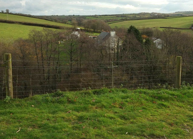
Image: © Derek Harper Taken: 1 Dec 2019
Looking right from Image], with the listed cottages https://historicengland.org.uk/listing/the-list/list-entry/1326529 glimpsable through the trees. "Medieval house, of open-hall type, was remodelled in early C17 as a 2-story 3-unit plan with central hall".
Images are licensed for reuse under creativecommons.org/licenses/by-sa/2.0
Image Location


Leaflet Map data © OpenStreetMap
Latitude
50.994222
Longitude
-4.131274