Path in Bostall Woods
Introduction
The photograph on this page of Path in Bostall Woods by Marathon as part of the Geograph project.
The Geograph project started in 2005 with the aim of publishing, organising and preserving representative images for every square kilometre of Great Britain, Ireland and the Isle of Man.

There are currently over 7.5m images from over 14,400 individuals and you can help contribute to the project by visiting https://www.geograph.org.uk
Path in Bostall Woods
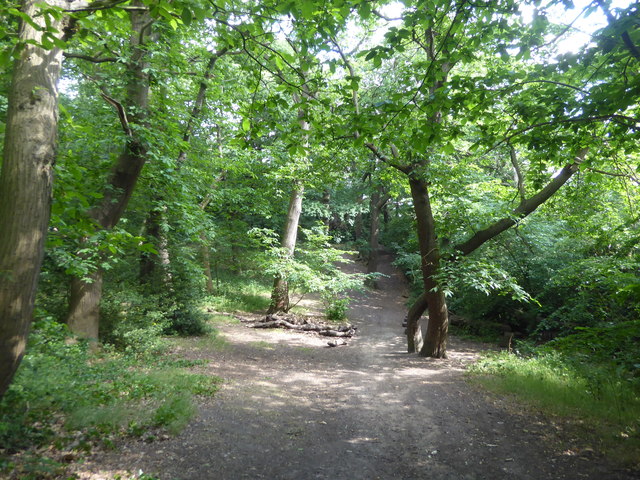
Image: © Marathon Taken: 13 Jun 2020
This path follows around the base of the steep western slope of Bostall Woods.
Images are licensed for reuse under creativecommons.org/licenses/by-sa/2.0
Image Location
Latitude
51.478915
Longitude
0.109251