Instrumentation between the roads
Introduction
The photograph on this page of Instrumentation between the roads by Des Blenkinsopp as part of the Geograph project.
The Geograph project started in 2005 with the aim of publishing, organising and preserving representative images for every square kilometre of Great Britain, Ireland and the Isle of Man.

There are currently over 7.5m images from over 14,400 individuals and you can help contribute to the project by visiting https://www.geograph.org.uk
Instrumentation between the roads
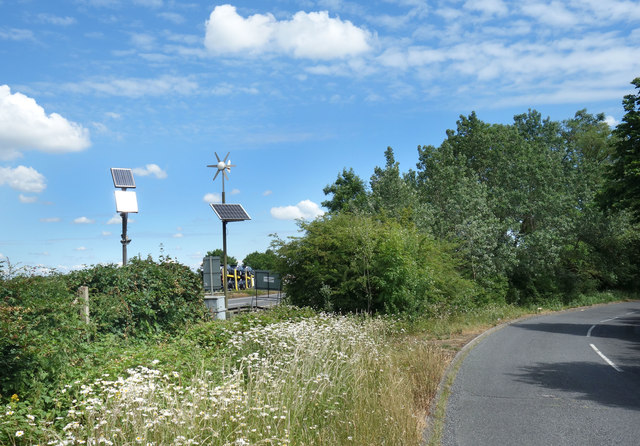
Image: © Des Blenkinsopp Taken: 15 Jun 2020
The A34 dual carriageway and the old lane it replaced are only a few metres apart just here. Solar panels and a turbine power some sort of installation, with safe access along the lane rather than the main road.
Images are licensed for reuse under creativecommons.org/licenses/by-sa/2.0
Image Location
Latitude
51.85886
Longitude
-1.214099