Footpath, official and unofficial
Introduction
The photograph on this page of Footpath, official and unofficial by Alan Murray-Rust as part of the Geograph project.
The Geograph project started in 2005 with the aim of publishing, organising and preserving representative images for every square kilometre of Great Britain, Ireland and the Isle of Man.

There are currently over 7.5m images from over 14,400 individuals and you can help contribute to the project by visiting https://www.geograph.org.uk
Footpath, official and unofficial
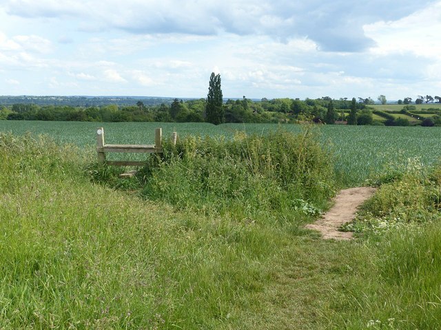
Image: © Alan Murray-Rust Taken: 13 Jun 2020
Despite the easy way through, there still seems to be some traffic over the stile. The 1:25k OS mapping shows a path across the field from the unofficial point, slightly offset from the line marking the official footpath line, based on the stile!
Images are licensed for reuse under creativecommons.org/licenses/by-sa/2.0
Image Location
Latitude
53.017311
Longitude
-1.016425